Filling gaps on emission data with Global Mangrove Watch for FAO Kenya
-
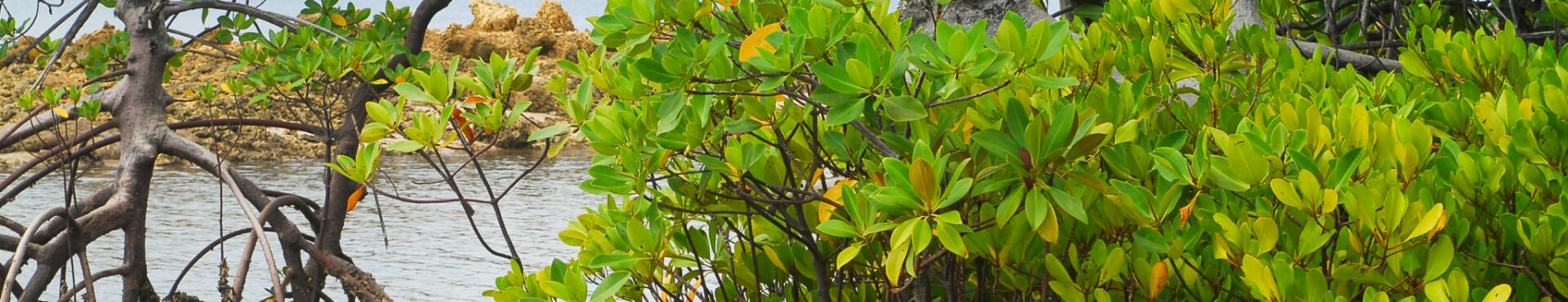
Global Mangrove Watch
Global Mangrove Watch User Story
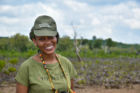
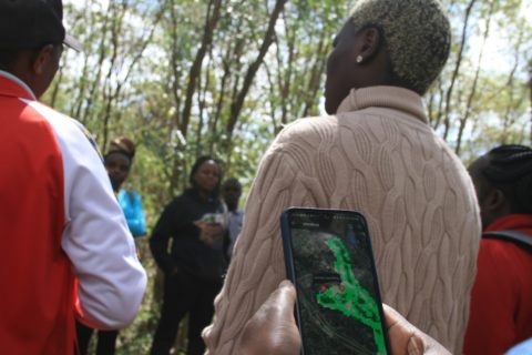
The Global Mangrove Watch (GMW) is an online platform that provides remote sensing data and tools for global monitoring of mangroves. Elizabeth Wamba from Wetlands International Eastern Africa interviews Eva Ntara, Wetlands Consultant at FAO on how they are using Global Mangrove Watch for filling gaps on emission data for FAO Kenya.
The Food and Agriculture Organization of the United Nations (FAO) and the Kenya Forest Service began work on Improving Measurement for Payments to Reduce Emissions and Strengthen Sinks – IMPRESS – a globally relevant pilot project in Kenya for countries wishing to move towards high-integrity forest monitoring systems enabling access to climate finance. Funded by the UK Government under their Partnering to Accelerate Climate Transition (UKPACT) program, IMPRESS will support Kenya’s progress towards the Sustainable Development Goals and its long-term development plan.
Wetlands International speaks with Wetlands Consultant at FAO, Eva Ntara, on how they’ve used Global Mangrove Watch (GMW) so far, and what they’d like to see for the tool moving forward.
How did you get introduced to Global Mangrove Watch?
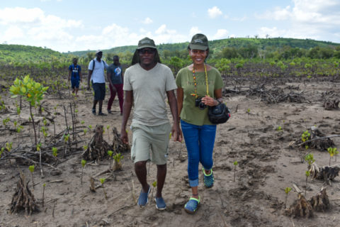
When we began work on IMPRESS about a year ago, we started with a background analysis to see what information was already available. We first came across the publication State of the Mangroves in the Western Indian Ocean which proved very useful. It soon became one of the key sources of information for us; providing us with data on the distribution of mangroves and the potential for emissions reduction in the country and the region. During the development of the mangrove map for Kenya, the GMW global product was used as one of the baseline maps in determining actual mangrove areas in the country. We were also in consultations with other members of the Global Mangrove Alliance, so it was natural for us to leverage existing data from GMW rather than starting from scratch.
How does GMW fit with IMPRESS?
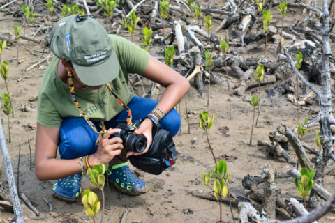
Kenya submitted its National Forest Reference Level to the UNFCCC in 2019 and took part in the Technical Assessment in 2020. One of the key outcomes from the TA was that Kenya was potentially missing out on emissions and potential emissions reductions from Mangroves. Kenya’s initial submission combined both Coastal and Mangrove classes using a combined emissions factor for both. This approach failed to capture the high carbon content of the Mangrove vegetation. In this project, we’re looking to identify specific mangrove emissions factors in consultation with stakeholders. We have now developed a Mangrove Emissions Factor Database (MEFDB) for Kenya by looking at research from stakeholders from 1991-2021, including factors such as soil organic carbon, above and below-ground biomass, and deadwood stocks. In addition to the MEFDB database we have also worked to produce a mangrove baseline map for Kenya and hopefully in the near future, with the aid of GMW, we can see the real-time changes and connect it to the available emission factors to estimate actual emissions coming from mangrove degradation.
You’ve just attended a GMW training. What is your take so far? What has stood out for you?
For me, it’s the new functionalities that have been added, like the restoration potential and the maps showing changes. This will be key for conservation and restoration plans. It was also interesting to learn about the case studies from the mangrove researchers across Africa and share ideas to see how we can come up with replicable best practices.
What challenges did you face using GMW? What would you like to see improved?
Currently, we’re in the process of stakeholder mapping and one of the key challenges we face is that most of the mangrove stakeholders in Kenya hold data close to their chest. We’re trying to encourage stakeholders to share information publicly. So ideally, GMA has some incentives for stakeholders to share this data so that it can be displayed in a user-friendly way on the GMW site.
Another thing I’d like to see improved is the resolution of the maps. It is a global product for now, but national and regional maps need to be improved, perhaps by going into the field. Linking the field results to the global maps is important and will make the tool even more useful to policymakers, NGOs and analysts.
Finally, I think mangrove stakeholder engagement can be improved. We already have a mangrove monitoring knowledge-sharing platform that was created under the IMPRESS project with over 100 mangrove practitioners locally and internationally. We can build on the network formed to share information, events and opportunities for growth and development.
Anything else that you would like to add?
This GMW training was a good way to connect theory with practice. It has shown the need for capacity building with community members to create more sustainable restoration initiatives.
Finally, I think there is a need to collaborate. Restoration tools are being built by other institutions. Data is being collected by others. But we need to find a way to not duplicate our efforts.
Discover how you can use Global Mangrove Watch
Global Mangrove Watch is a free and easy-to-use, and scientifically robust tool for practitioners, governments and investors, in scientific collaboration with Wetlands International, Aberystwyth University, soloEO, TNC, JAXA, NASA and a host of partners. Check out near real-time information on the extent, status and values of mangroves in the country or site of your interest: www.globalmangrovewatch.org