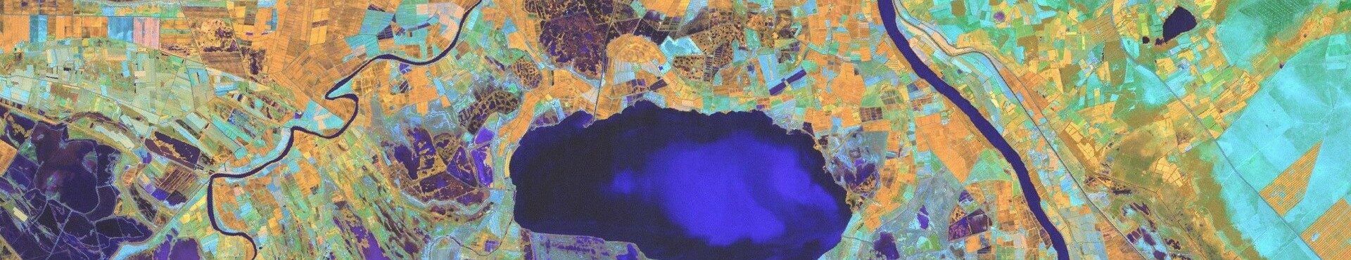
Earth observation data to help improve wetland policies
The GEO-Wetlands Initiative, a network of experts that aims to better inform and improve decision making with regards to wetlands by using earth observation data, has been officially approved by the Group on Earth Observation’s 13th Plenary taking place in St. Petersburg, Russia.
The launch of GEO-Wetlands is a huge opportunity for the whole wetlands community. It provides a framework for cooperation and for ensuring the long-term availability of mapping and monitoring services for wetlands that are currently being developed by different international projects. GEO-Wetlands is expected to provide a long-term home and management body to keep the achievements and services of SWOS and other earth observation projects available for the wetland community.
Wetlands International, the Secretariat of the Ramsar Convention and the University of Bonn have brought together and coordinated this diverse global community, consisting of different organizations, institutions and projects and have prepared the first implementation plan for GEO-Wetlands over the past year.
Wetlands International is contributing through its participation in the EU Horizon 2020 project SWOS.