Towards a further extension of the OPIDIN tool
Published on:
-
Coastal resilience
-
Community resilience
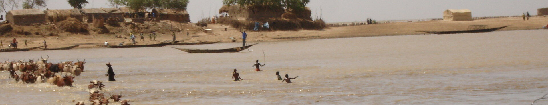
OPIDIN is a predictive model to forecast the flooding of the Inner Niger Delta when the water starts to raise. OPIDIN is an acronym for Outil de Prediction des Inondations dans le Delta Intérieur du Niger. A first version of OPIDIN was developed in 2009 within a study carried out by Royal Haskoning (lead), Altenburg & Wymenga Ecological Consultants and Wetland International. This study was financed by “Partners for Water”, a joint initiative of six departments of the Government of the Netherlands. Wetlands International (Séveré) took the initiative to explore the possibilities to extend the model and asked A&W to investigate how OPIDIN may be extended and improved.